Everything that happens in the middle is felt at both ends.
200 kilometres from the Drakensberg Escarpment to two million people in Maputo.
Two rivers. One accountability.
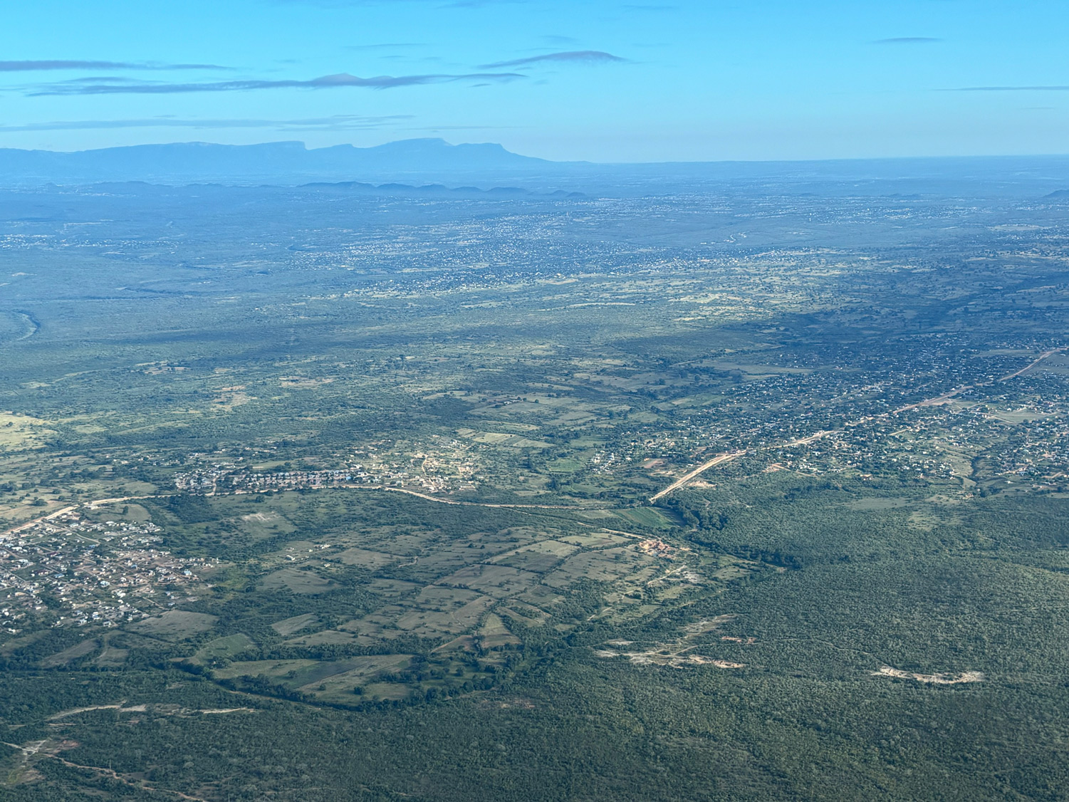
The Sand and Sabie Rivers rise on the eastern slopes of the Drakensberg Escarpment — one of the most biodiverse mountain ranges in southern Africa. From there they run east into the Lowveld, gathering volume through ridges and valleys, joining each other in the middle catchment before passing through the Kruger National Park. Together they cross into Mozambique via the Inkomati system and reach the Indian Ocean near Maputo.
Two rivers. Hundreds of kilometres from source to sea. Crossing provincial boundaries, national borders, and the invisible lines between formal conservation and communal land.
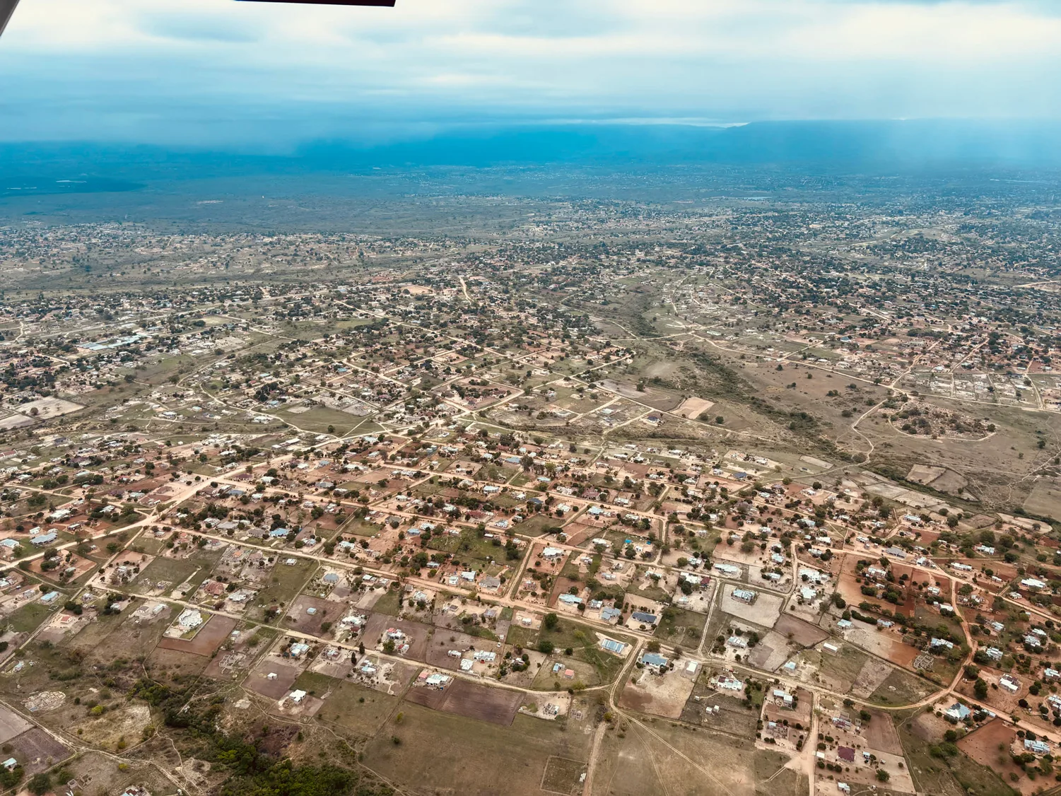
Two million people in and around Maputo depend on what arrives at the end of that journey.
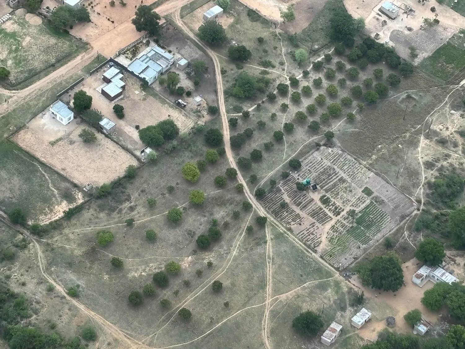
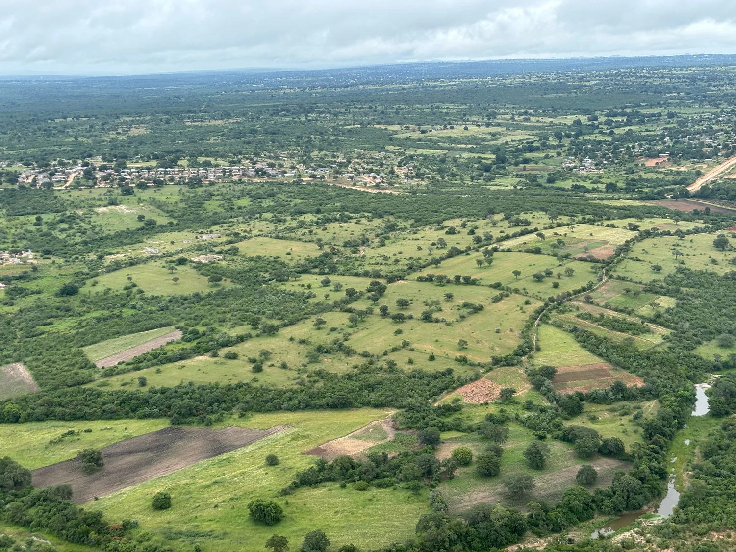
Population growth and subsistence agriculture without tree cover have destabilised soils across hundreds of thousands of hectares. Sand is moving into the river. The physics are not complicated: no roots, no soil stability. No soil stability, no water retention. No water retention — more floods in wet season, more droughts in dry, more sand downstream, more sediment in a river that is already carrying too much.
The Sand and Sabie Rivers' statutory Ecological Reserve — the minimum flow the law requires — is gone in parts of their middle reaches.
The Greater Kruger ecosystem, which adjoins the project area, generates approximately ZAR 2.6 billion annually in tourism and conservation-related economic activity — around 10,000 jobs in guiding, hospitality, and conservation management. The health of the catchment is directly connected to the health of that economy.
The Sabie and Sand River catchments sit inside one of Africa's 162 Keystone Protected Areas — the sites identified by independent scientific analysis as making a disproportionately large contribution to continental biodiversity.
The catchment is home to Tsonga-speaking communities whose relationship with this landscape predates every map we have ever made of it. Ten Traditional Authorities hold the land under customary law.
Their endorsement is not a regulatory requirement. It is the load-bearing structure on which the project's permanence rests. Conservation that does not put the people of the land at the centre of its economics does not last forty years.
The Shangaan people have lived alongside the marula for generations. They know how it fruits, how it is harvested, what its oil does, what it means at a wedding.
From cool escarpment forest through mixed savanna to hot thornveld adjacent to Kruger — the Lowveld biome contains remarkable ecological complexity. Multiple Critically Endangered and Endangered species. Indigenous grasses that stabilise soil between trees. Wildlife corridors connecting Sabi Sand to Kruger and beyond.
A catchment that holds water holds wildlife. A catchment that holds wildlife holds the economy of the reserves downstream. A catchment that holds its reserves holds the river all the way to Maputo.
The SADC Transboundary Water Management Programme (BMZ/GIZ) provides the governance framework for scaling restoration across South Africa, Mozambique, and Eswatini — the broader Inkomati-Usuthu Catchment. The Limpopo Watercourse Commission and the Inkomati Maputo Watercourse Commission provide the institutional architecture for coordination across borders.
Save the Sand is positioned within this framework from inception. Not after the fact. Not as an add-on. From day one.
We use cookies for anonymized analytics so we can improve this site. See our privacy policy.